

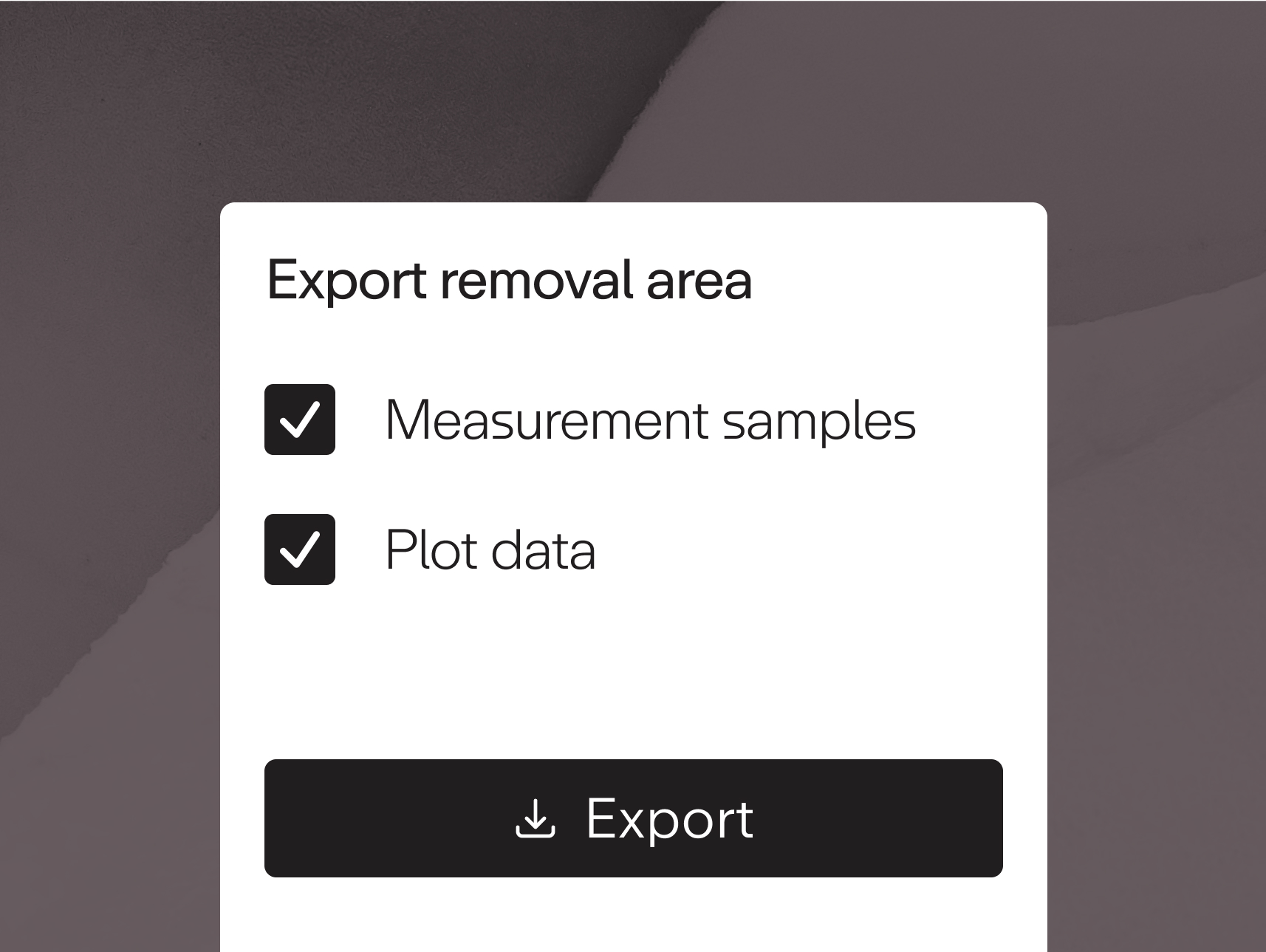
Verifiers of Enhanced Weathering projects can now download CSV files with measurement locations and sample data, as well as GeoJSON files with project area boundaries directly from Certify. This allows verifiers to review the exact data submitted for quantification, whether used directly in CO₂ sequestration calculations or required for broader compliance with the Isometric Enhanced Weathering in Agriculture protocol, ensuring a transparent and rigorous verification process.